Projects we are working on
 Over the past ten years we have worked on a number of projects, of which we have listed some on the right side.
The majority of these projects concerned geographic data analysis, automated map production, and development of tools for data analysis tasks.
But we developed learning material and gave courses on the use of GIS software, such as an advanced user course on ESRI's ArcGIS.
Over the past ten years we have worked on a number of projects, of which we have listed some on the right side.
The majority of these projects concerned geographic data analysis, automated map production, and development of tools for data analysis tasks.
But we developed learning material and gave courses on the use of GIS software, such as an advanced user course on ESRI's ArcGIS.
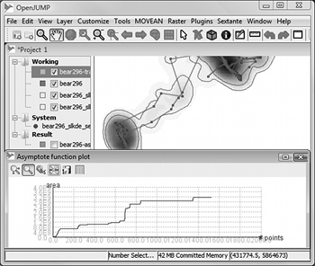
As mentioned before, a big part of our work has been GIS tools development. These developments have mostly been made with and for free and open source GIS. Consequently a lot of results were later integrated into the tools, and until today we regularly contribute to open source development with new functions or by answering user questions on email lists.
Subject Areas
Our past projects addressed several subject areas, among those are: Cartography, Urban Planning, Geography, Geomatics, Wildlife Ecology, Landscape Ecology - and also some more technical areas such as Software Development, Machine Learning, Optimization, Computer Graphics, and Remote Sensing.
Tools/Software
- Desktop GIS: ArcGIS Desktop, OpenJUMP GIS, Quantum GIS, Cadcorp SIS, MicroStation, gvSIG, etc.
- Publishing Software: Adobe Illustrator, Adobe Photoshop, GIMP, Inkscape, Freehand, etc.
- Other GIS software: JTS Topology Suite, GeoTools, Leaflet, PostGIS/PostgreSQL, OpenTripPlanner, etc.
- Server software: Linux, Apache Tomcat, MySQL, etc.
- Math software: Matlab, R, etc.
- Development tools: Eclipse, IntelliJ IDEA, VisualStudio, Mantis Bug Tracking, CVS, SVN, GIT, MediaWiki, etc.
- Office tools: OpenOffice, Microsoft Office, FreeMind, MindManager, etc.